TERRAVAULT

TERRAVAULT

TERRAVAULT’s land intelligence solution


TERRAVAULT enables its users - particularly home developers, realtors, insurance professionals - to make informed decisions backed by comprehensive geospatial data and analytics.

As the world becomes increasingly data-driven, real-time information becomes pivotal in decision-making across various industries. In this respect, the rise of Geographical Information Systems (GIS) and spatial analytics have revolutionized the way businesses interpret location-based data. A leader in the domain of Location Intelligence (LI) for land development in Texas US is TERRAVAULT, a dynamic SaaS platform built on the illustreets engine.

Data acquisition and processing

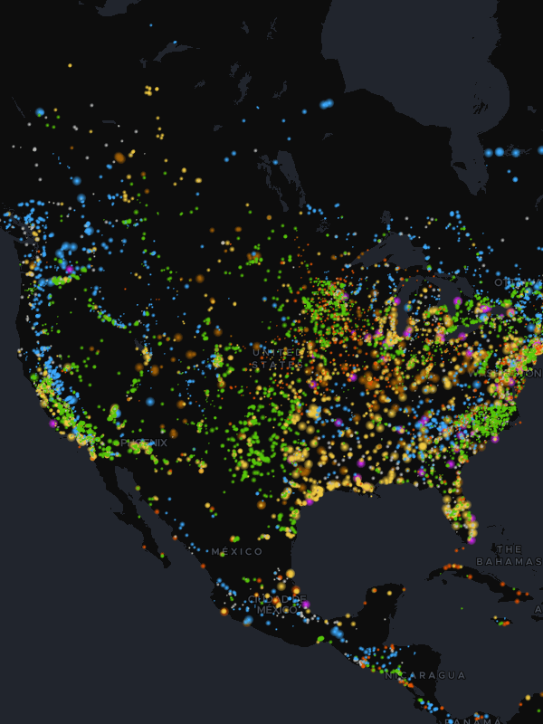
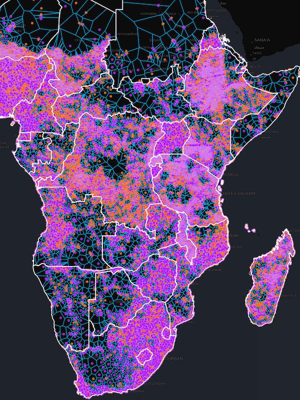
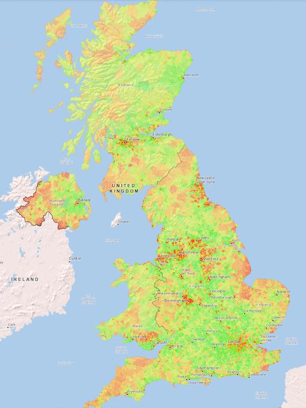
TERRAVAULT leverages public data, ranging from zoning information and school districts to floodplains and utility details. This data is enriched by being localized to specific regions, providing a comprehensive and contextual overview of the area in question. The platform supports a broad range of data import formats and connects seamlessly to external databases. This enables TERRAVAULT to collate and analyse hundreds of spatial datasets that provide laser-focused insight into each geographical region.

Multi-layering and zoning

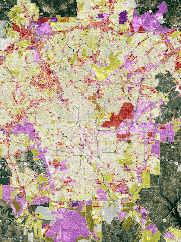
One of TERRAVAULT’s most prominent features is its multi-layering and zoning capabilities. By integrating a multitude of datasets, TERRAVAULT creates detailed visualizations of specific zones, effectively evaluating and curating base data from public cadastral mapping services. This functionality plays a pivotal role in making strategic decisions related to land development, utility placement, and environmental considerations.

User empowerment

TERRAVAULT’s robust and flexible analytical engine allows users to run multiple “what if” scenarios by enabling parameters directly within the analytical pipelines. As a result, users can modify analysis based on their specific requirements. For instance, a user can input a location and a time value to find specific points within a driving distance. This on-the-fly analysis and modification greatly enhance the agility and speed of decision-making processes.

Real-time updates and synchronization

To ensure the consistency and reliability of the information, TERRAVAULT checks the data against its original schema automatically, at every step. This effectively prevents potential glitches in data preparation from disrupting the dashboards and business apps that clients rely on for their work. All the datasets, data views, charts, layers, reports, data stories, maps – everything is synchronised and updated periodically.

Secure collaboration and project tracking

TERRAVAULT supports multi-user collaboration, allowing users to edit map data based on strict rules and permissions. The platform employs access control lists, roles, and user groups to manage user access. This streamlined and secure collaboration coupled with effective project tracking features offers an enhanced user experience while maintaining data security and integrity.

No coding, no waiting

Swift, customizable, and always updated — that’s the promise of illustreets. Build spatial apps with our platform, without the hassle of coding and the dread of being outdated. Experience the speed of innovation with us!

Book a demo

More examples of illustreets in action

What our clients say

illustreets — a world-class product that outperforms industry giants, coupled with personalized service” and “a group of intelligent and friendly individuals to work alongside”. “We have only scratched the surface of the potential [it] provides and it’s been a great experience using it”.

illustreets has played an integral part in helping us build our SaaS platform for Terravault.

They worked collaboratively with us to develop tools and functionality that enhanced our product. In addition to their expertise, they are a group of intelligent and friendly individuals to work alongside.

Vicki Burch-Vasquez, GIS Manager
Cude Engineers, USA

It’s not often one comes across a company like illustreets — a world-class product…

…that outperforms industry giants, coupled with personalized service that allows product customization to allow exploration of new markets.

Village Infrastructure Angels has combined its knowledge and illustreets to deliver world class infrastructure mapping and planning services that, to the best of our knowledge, has no comparable competition, resulting in repeat work captured for both companies from respected institutions like the World Bank, Inter-American Development Bank and many others.

It has been a sheer delight to work with the illustreets team, and I look forward to many more years of collaboration that can result in more infrastructure being built to help the world’s poorest 1-2 billion people, and probably saving governments and donors billions of dollars via large-scale innovative design.

Stewart Craine, CEO
Stewart Craine, CEO
Village Infrastructure Angels, UK

We replaced spreadsheets of coordinates and calculation tables with illustreets.

Our business is selling equipment, which brings least cost electrification out to hard to reach areas, so we took our geospatial plannning data and plotted it in illustreets.

It became quickly apparent to our partners that they could make massive savings by setting up decentralised clusters of mesh-grids vs. more traditional centralised solutions. They were able to show this to other engineers and management in their organization and quickly we were able to move to supplying equipment and getting more power to the people.

We have only scratched the surface of the potential illustreets provides and it’s been a great experience using it. Highly recommended easy UX - quick leap to visualising GIS data.

Afnan Hannan, CEO
Afnan Hannan, CEO
Okra Solar, Australia

illustreets has provided an unmatched ability to build on large and complex datasets…

…to not only make our data visually beautiful but to present complex data as simple and easy to understand dynamic stories to our clients. This is particularly important to us when dealing with highly technical data to enable non-technical clients the ability to easily understand and navigate their way through the GIS apps, without getting lost in a mass of data and information. Previous solutions we had worked with lacked this final piece of the puzzle.

In addition, the SQL engine within illustreets is unrivaled in it’s ease of use - as a relative novice in SQL language, it was easy to get to grips with utilising some of the power of this engine using their simple and user friendly SQL query builder GUI and later move into more advanced queries with the SQL editor.

The support illustreets has provided throughout has been first class and always met with quick responses, even when the support requested has not necessarily been related to illustreets platform!

Sam Andrews
Sam Andrews
Andrews Consulting, Australia